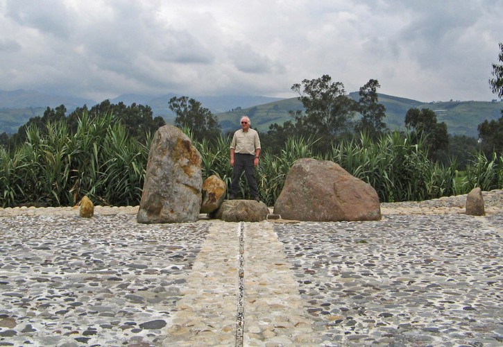
The next day we got together with the rest of our REI group to start the next part of our trip, into the Andes highlands near Quito. Along the way we crossed the equator, my right half is in the northern hemisphere, left half in the southern. This particular roadside display was located via GPS, and is accurate to an inch or two.
We drove east from Quito over Papallacta Pass. My map says it's at 4064 meters altitude, which is exactly 160,000 inches, or 13,333 feet. I have a feeling it was originally measured in English units, rounded off, and converted to meters. In any case, I'm counting it as a new personal furthest up; the highest point I've ever been.